Sebago Lake State Park Map
The Maine Bureau of Parks and Lands publishes four maps of Sebago Lake State Park: a west side (Naples) trail map with five hiking trails, an east side (Casco) winter trail map whose Outer Loop runs 3.7 miles, a campground map revised February 24, 2026, and a day-use and group camping map. All four are free PDFs on the Bureau's website, and printed winter maps are left at the parking areas. This page puts the maps into words so you know which one you need.
The Maps at a Glance
The Two Halves of the Park
The Songo River splits the park. West of it, in Naples, are the campground, Naples Beach, Witch Cove Beach and the five marked hiking trails. East of it, in Casco, are the day-use entrance, Songo Beach, the picnic groves, the boat launch, park headquarters and the groomed winter trails. State Park Road links the two, crossing the river at Songo Lock. See parking and directions.
West Side Trail Map (Naples)
The Bureau's west-side map covers hiking, skiing and snowshoeing trails reached by Route 302, State Park Road and Campground Road:
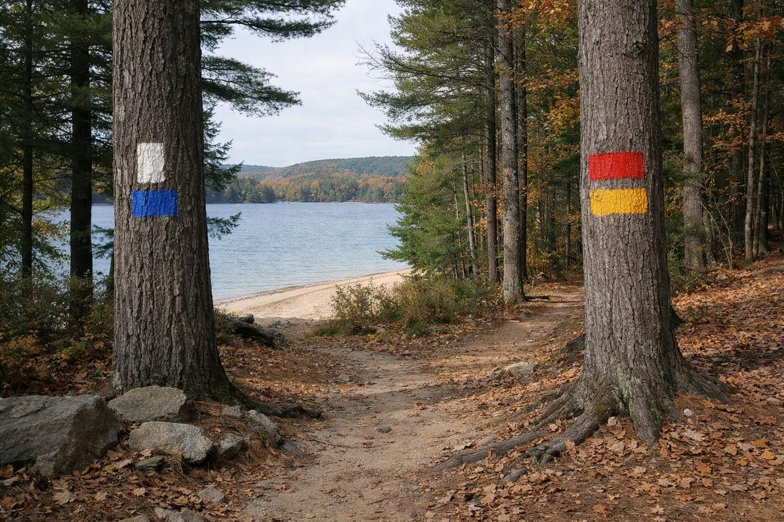
- Lookout Trail: light red markers, 1.25 miles, strenuous. Highest point in the park, 499 feet.
- Beaver Lodge Trail: yellow markers, 1.5-mile loop, easy. Horseshoe Bog.
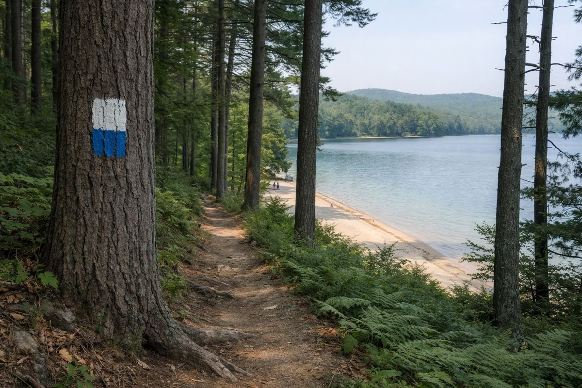
- Twin Brook Trail: light blue markers, 1 mile, easy.
- Nature Trail: light green markers, 1-mile loop, moderate. "Fern Gully".
- Songo Wilderness Trail: dark green markers, 3 miles, moderate. Longest trail; Songo River shore.
The map also shows paved roads, service roads, the park boundary and 10-foot contours. It notes that the park is carry in, carry out, and that pets must be leashed and are not allowed during the camping season. See hiking for each trail.
East Side Winter Trail Map (Casco)
The east-side map shows the groomed and track-set ski trails on the day-use side:
- Outer Loop: 3.7 miles
- North Link: 0.27 miles
- South Link: 0.25 miles
- Cub Cove Spur: 0.5 miles
- New Place Cove Road: 0.5 miles
It marks plowed roads, groomed trails, ungroomed trails and track set for classic skiing, and lists parking at park headquarters, the boat launch and the East Area. Rules on the map: pets leashed at all times, walkers stay off the set track, carry in, carry out. In summer these trails are used for hiking and biking. See winter.
Campground Map
The 2026 campground map shows every campsite with its size code, the hookup sites, showers, dishwashing stations, the nature center, the amphitheater and the two campers' beaches. See the campground map guide.
Day-Use and Group Camping Map
This map, dated February 2020, covers the Casco day-use area and the group campsites: the entrance booth, swimming area, picnic areas (including an accessible one), the reservable picnic shelter, playground, boat launch, restrooms, outhouses, showers and dishwashing, the dump station, gravel paths and gates. See picnic areas and the beaches.
Getting a Paper Map
The Bureau leaves winter trail maps at the parking areas. For anything else, print the PDF before you go or ask at the entry booth. Call the park at (207) 693-6231 for trail conditions.
Sebago Lake State Park Map FAQ
Is there a map of Sebago Lake State Park?
Yes. The Bureau of Parks and Lands publishes free PDF maps of the west-side trails, the east-side winter trails, the campground and the day-use area.
How long is the Outer Loop at Sebago Lake State Park?
3.7 miles, according to the Bureau's east side winter trail map.
Which side of Sebago Lake State Park is the beach on?
The day-use beach, Songo Beach, is on the Casco side. The campers' beaches, Naples Beach and Witch Cove Beach, are on the Naples side.