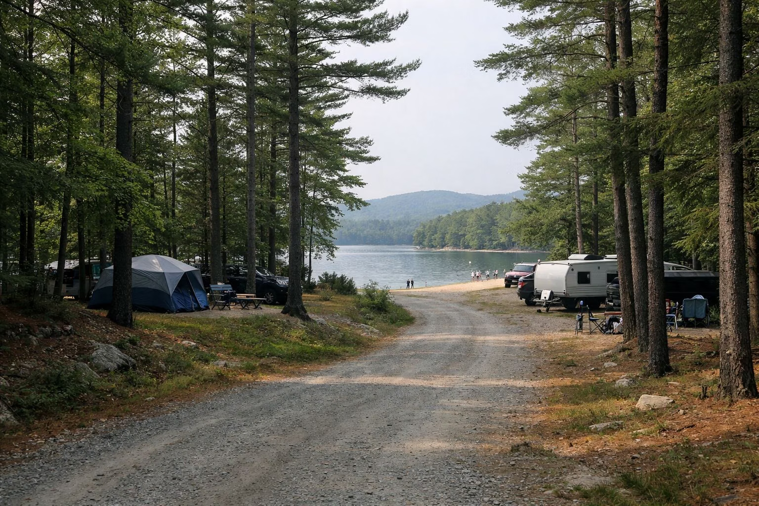
Sebago Campground Map
The Bureau of Parks and Lands' campground map for Sebago Lake State Park, revised February 24, 2026, marks every one of the campground's sites with a number and a size letter: S for small tents and pop-ups up to 20 feet, M for campers up to 25 feet, L for large campers, X for campers up to 35 feet, U for campers over 35 feet and T for walk-in tent sites. The map key also marks which sites have water and electric hookups and which can be reserved. The campground runs down to two campers' beaches on Sebago Lake, Naples Beach and Witch Cove Beach.
Map Key at a Glance
Where to Get the Map
The official map is a PDF on the Bureau's campground maps page (Sebago is listed with the other 11 state park campgrounds). The CampWithME.com reservation site shows the same sites with photos when you search by park. This page explains how to read the map; it does not reproduce it.
Reading the Site Codes
Each site number is followed by a letter for the biggest rig that fits:
- S, small: pop-up camper or tent, up to 20 feet
- M, medium: camper up to 25 feet
- L, large: larger campers (the map's two legends disagree on the exact length, so check the site's listing when you book)
- X, extra large: camper up to 35 feet
- U: campers longer than 35 feet
- T: walk-in tent site, where you carry your gear from a parking spot
The map also separates reservable sites from non-reservable ones, which are kept for walk-up campers, and marks administrative sites used by staff and hosts. When you book online, enter your equipment size and the search hides sites that are too small.
Water and Electric Sites
The map key marks the sites with water and electric hookups, separately for reservable and non-reservable sites. They cost $35 a night for Maine residents and $45 for non-residents, against $25 and $35 for a site without hookups. The Bureau lists water and electric hookups only, and a trailer dumping station serves the campground. See the campground for every fee.
What Else the Map Shows
- Control station: the entrance booth where you register.
- Showers, restrooms and drinking water spread through the loops, plus dishwashing stations.
- Playground, nature center and amphitheater for evening programs.
- Campground hosts, marked H, and a ranger's cabin.
- Telephone, trash and recycling, and accessible sites.
- Boat trailer parking and additional vehicle parking, since each site allows only two vehicles.
- Trails leaving from the campground roads.
The Campers' Beaches
Naples Beach and Witch Cove Beach are on the campground side of the park, on the Sebago Lake shore. The day-use beach, Songo Beach, is on the Casco side and has its own entrance. See the beaches.
Trails From the Campground
The Beaver Lodge Trail starts just after the campground entrance booth. The Nature Trail begins near the amphitheater road, toward the Naples Beach entrance, and ends beside the entrance to the Witch Cove part of the campground. The Lookout and Twin Brook trails start halfway along the park road. See hiking.
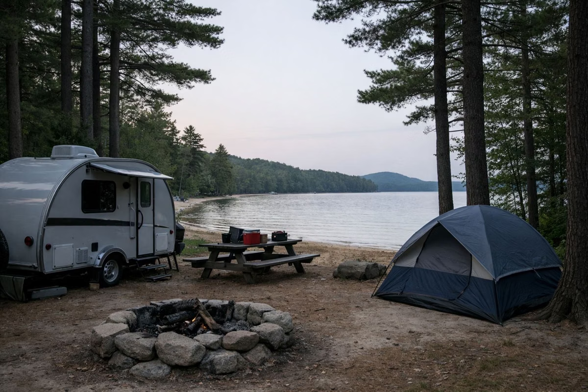
Sebago Campground Map FAQ
Where can I find the Sebago Lake State Park campground map?
On the Maine Bureau of Parks and Lands' campground maps page, as a PDF revised February 24, 2026. CampWithME.com shows the same sites when you book.
What do the letters on the Sebago campground map mean?
They are site sizes: S up to 20 feet, M up to 25 feet, L large, X up to 35 feet, U over 35 feet, and T for walk-in tent sites.
Which Sebago campsites have hookups?
The official map's key marks them; CampWithME.com also lets you filter for water and electric sites.
Is there a beach in the Sebago Lake campground?
Yes, two: Naples Beach and Witch Cove Beach, both for campers.